Sigma Metrix
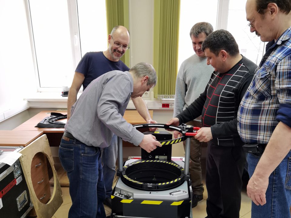
The project work included the field inspection for the aerial survey, reconnaissance and reconstruction of the points of state geodesic network, airborne survey and photogrammetry to develop digital elevation models and orthophotomaps.
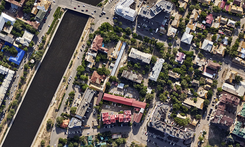
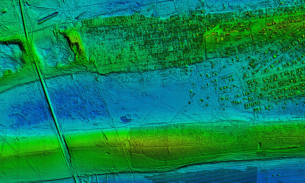
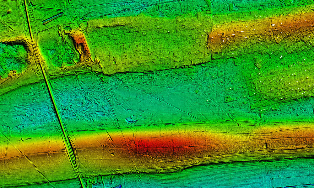
The work was carried out in an area covering 266 sq.km in the Astrakhan Region and
1 206.13 sq.km in the Voronezh Region. The aerial survey was carried out at an altitude of 1800 m. The IGI LiteMapper laser scanning system and PhaseOne 150 camera were used. The image resolution was 14 cm/pixel for administrative centers and high-rise and dense urban settlements, and 20 cm/pixel for low-rise settlements. The error in positioning the laser reflection points was no more than 15 cm in height and 20 cm in plan. The density of laser reflection points was at least 2 points per square meter.
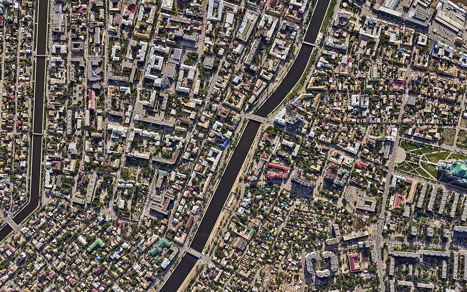
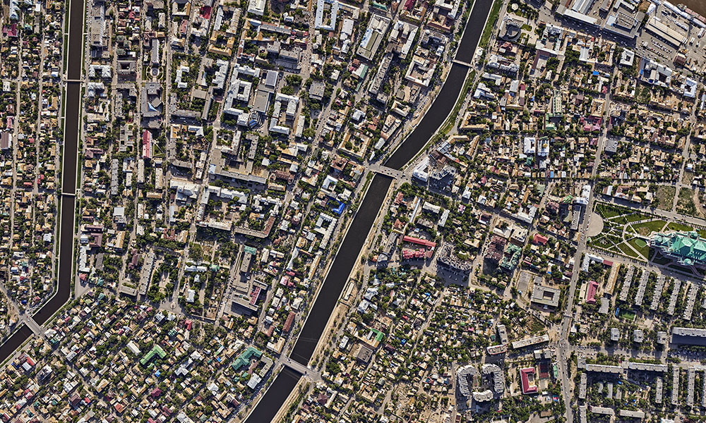
The orthophotomaps of 1: 2000 scale were created in the National coordinate system 2011 (GSK-2011), as well as in local coordinate systems (MSC), which are used to manage the Unified State Register of Real Estate.
The orthophotomaps as the basis of the UDRCB will be included in the Unified State Register of Real Estate and be integrated into the Federal Monitoring System of the social and economic development of Russian towns. They will be used to form new services within the framework of the Digital Economy Program, to address the issues of territorial planning in Russia, and to attract investments to the regions.