Sigma Metrix
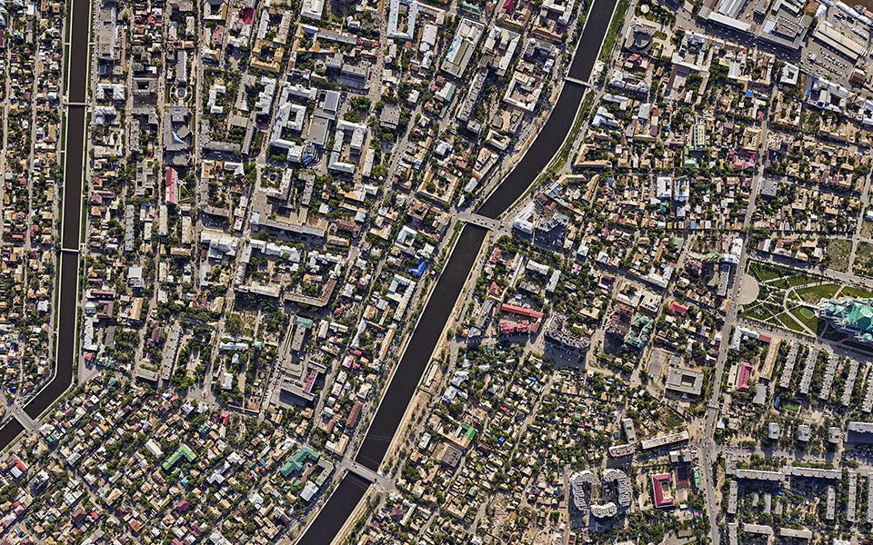
The needs of cities for accurate geospatial data are growing. The main products needed by city administrations now are textured three-dimensional models, the so-called "digital twins", rather than raw aerial survey data or traditional topographic plans. They provide an effective way to implement the world's leading practices developed for 3D cadastre and Smart Cities and serve as a basis for scaling up many Russian innovations in this area.
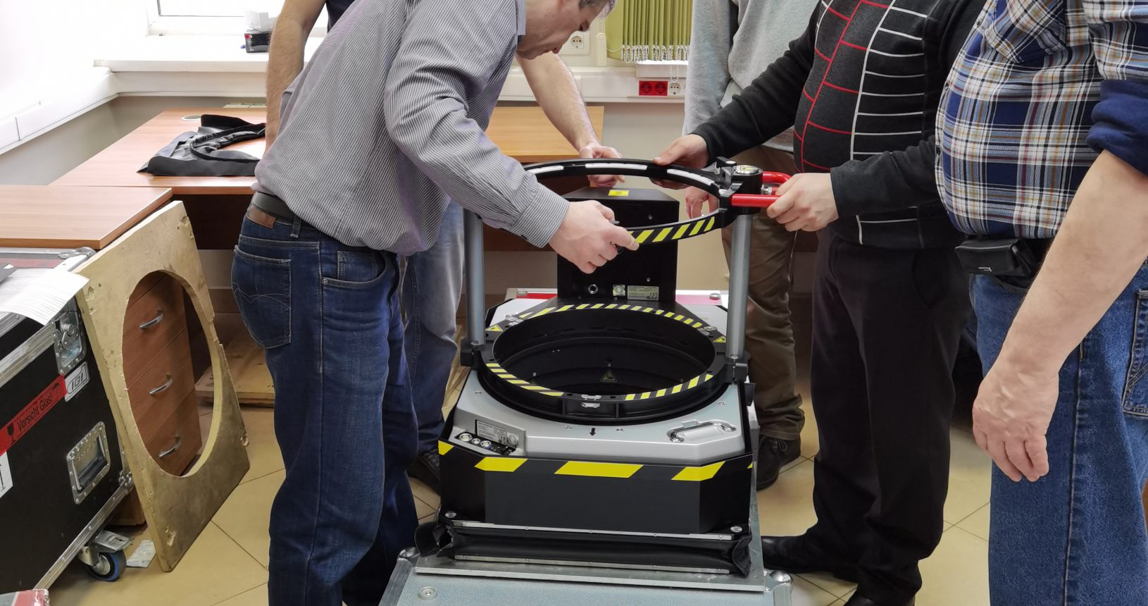
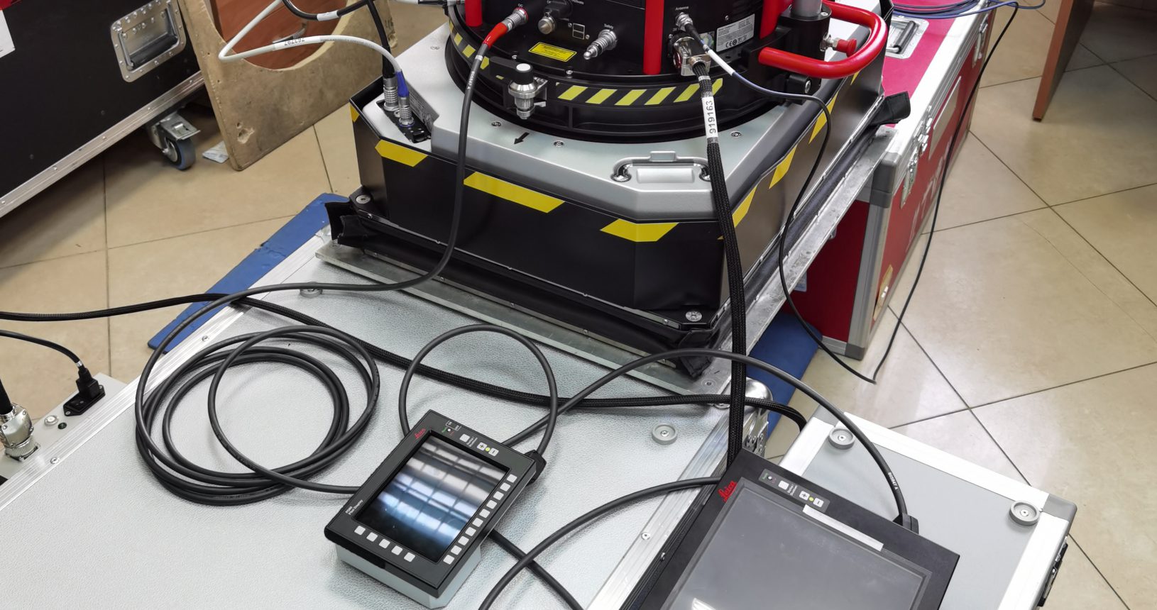
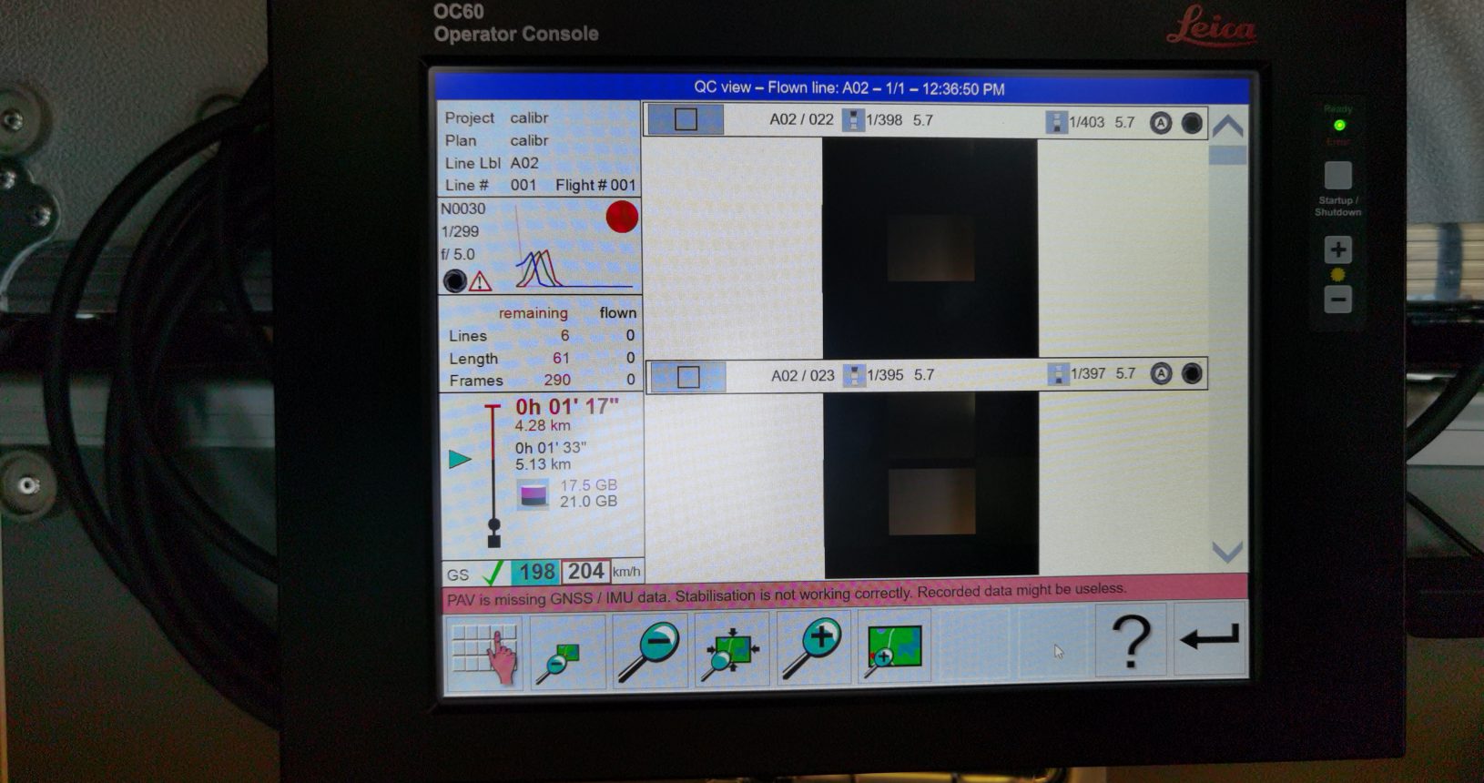
Leica CityMapper-2 is designed for aerial city mapping. It acquires data to create orthophotomaps, digital elevation models, mesh, and object models, per flight. The performance of CityMapper-2 is twice as high as aerial systems of the previous generations. This means that geospatial information on the territories can be updated more frequently whereas the changes occurred can be detected.
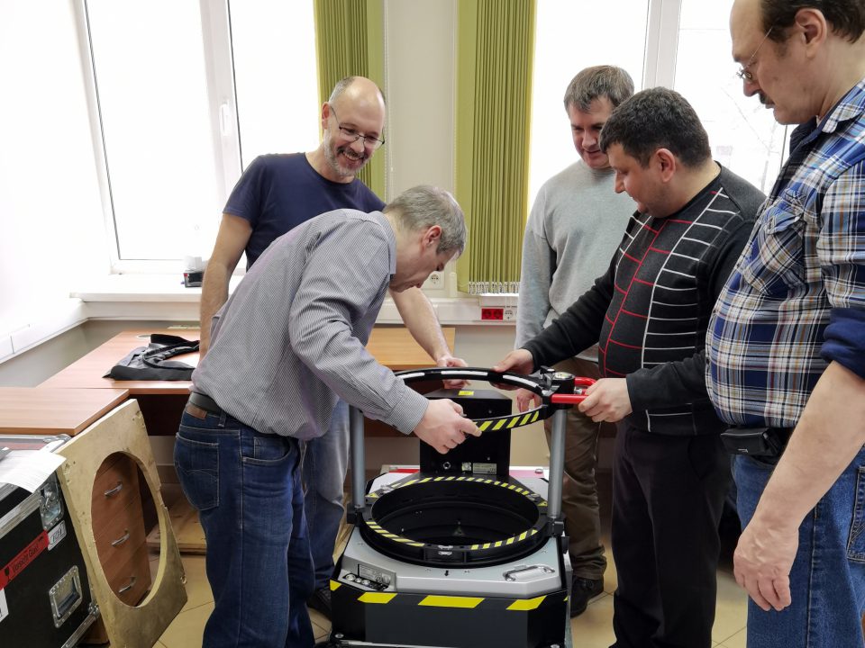
“The CityMapper-2 hybrid system for aerial survey is the most sophisticated equipment for producing high-performance digital twins today, — Spartak Chebotarev, President of Sigma Metrix. — I am confident that using equipment of such quality we will change the idea of how we can digitize the world we live in today to help manage it most effectively."