Solutions
Road Sector

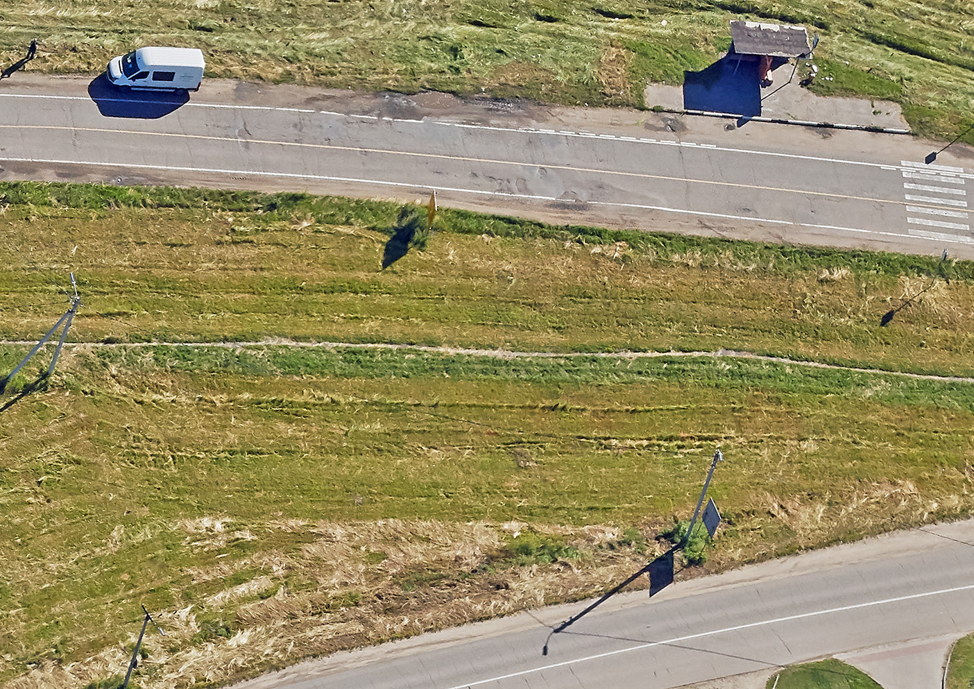
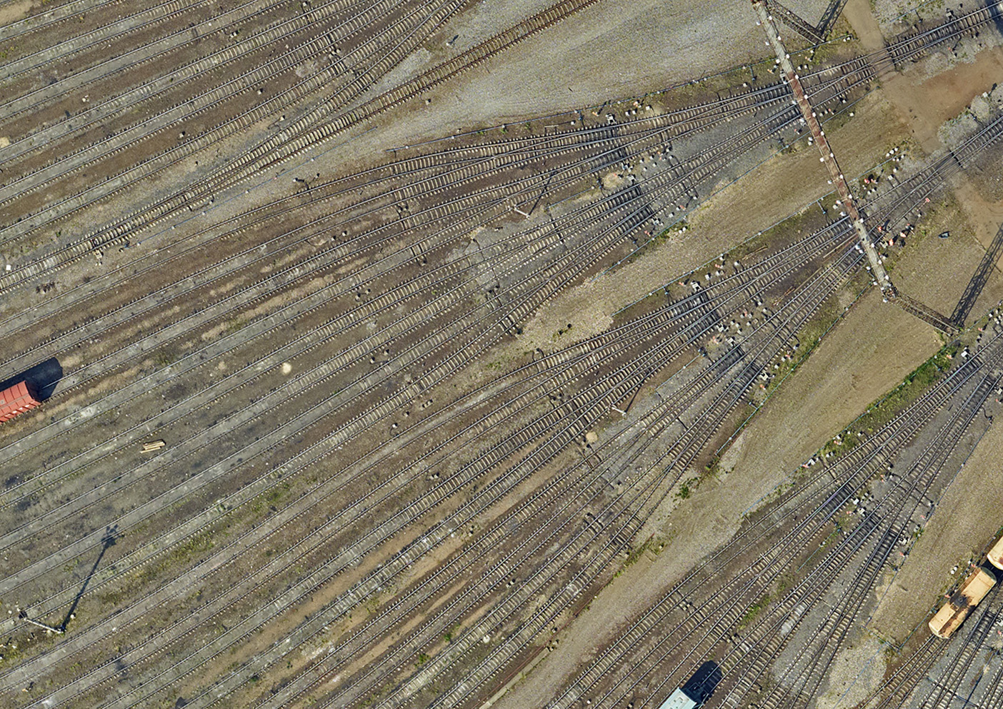
Aerial surveys
in the engineering & construction of roads
- Creation of the topographic base: ortophotomaps and topographic plans of any scale,
- Generation of digital elevation models and 3D models of transport infrastructure to be exported to AutoCAD and other CAD software,
- Construction of longitudinal and transverse profiles of roads,
- Construction of longitudinal and transverse profiles,
- Drafting of the lists of vertical and horizontal road deviations from the project position.
GIS and navigation
- Development of the digital topographic base for GIS,
- Acquisition of spatial data, coordinates, and attributes
for GIS, - Digital mapping for the navigation and dispatch systems for the passenger and freight transport.
Monitoring of the roadway conditions
- Monitoring of the roadway and road infrastructure conditions,
- Identification of the weakest sections of the roadbed, determination of the causes and consequences of deformation.
Deliverable
- Digital topographic maps and plans of linear and area objects,
- Digital orthophotomaps of 1: 500 - 1:10 000 scale
- Digital elevation models (DEM), surface models (DSM),
- Construction of longitudinal and transverse profiles,
- Classified laser reflections points.
Sigma Metrix © 2020
Solutions
Road Sector
Aerial surveys
in the engineering & construction of roads
- Создание геоподосновы: ортофотопланы и топографические планы всего масштабного ряда
- Создание цифровых моделей рельефа и объектов транспортной инфраструктуры с последующим экспортом материалов в AutoCAD, и другие программы проектирования
- Построение продольных и поперечных профилей дорог
- Построение продольных и поперечных профилей
- Создание ведомостей вертикальных и горизонтальных отклонений пути от паспортного (проектного) положения
GIS and navigation
- Создание цифровой основы для ГИС
- Сбор пространственных данных, координатных и атрибутивных, для наполнения ГИС
- Создание электронных карт для навигационных систем и диспетчерских систем пассажирского и грузового транспорта
Monitoring of the roadway conditions
- Мониторинг технического состояния дорожного полотна и объектов инфраструктуры
- Выявление наиболее слабых участков земляного полотна, определение причин и последствий деформации
Deliverable
- Digital topographic maps and plans of linear and area objects,
- Цифровые ортофотопланы М 1:500 — 1:10000
- Цифровые трехмерные модели рельефа, местности
- Профили
- Classified points cloud
Sigma Metrix © 2020