Equipment
Aircrafts
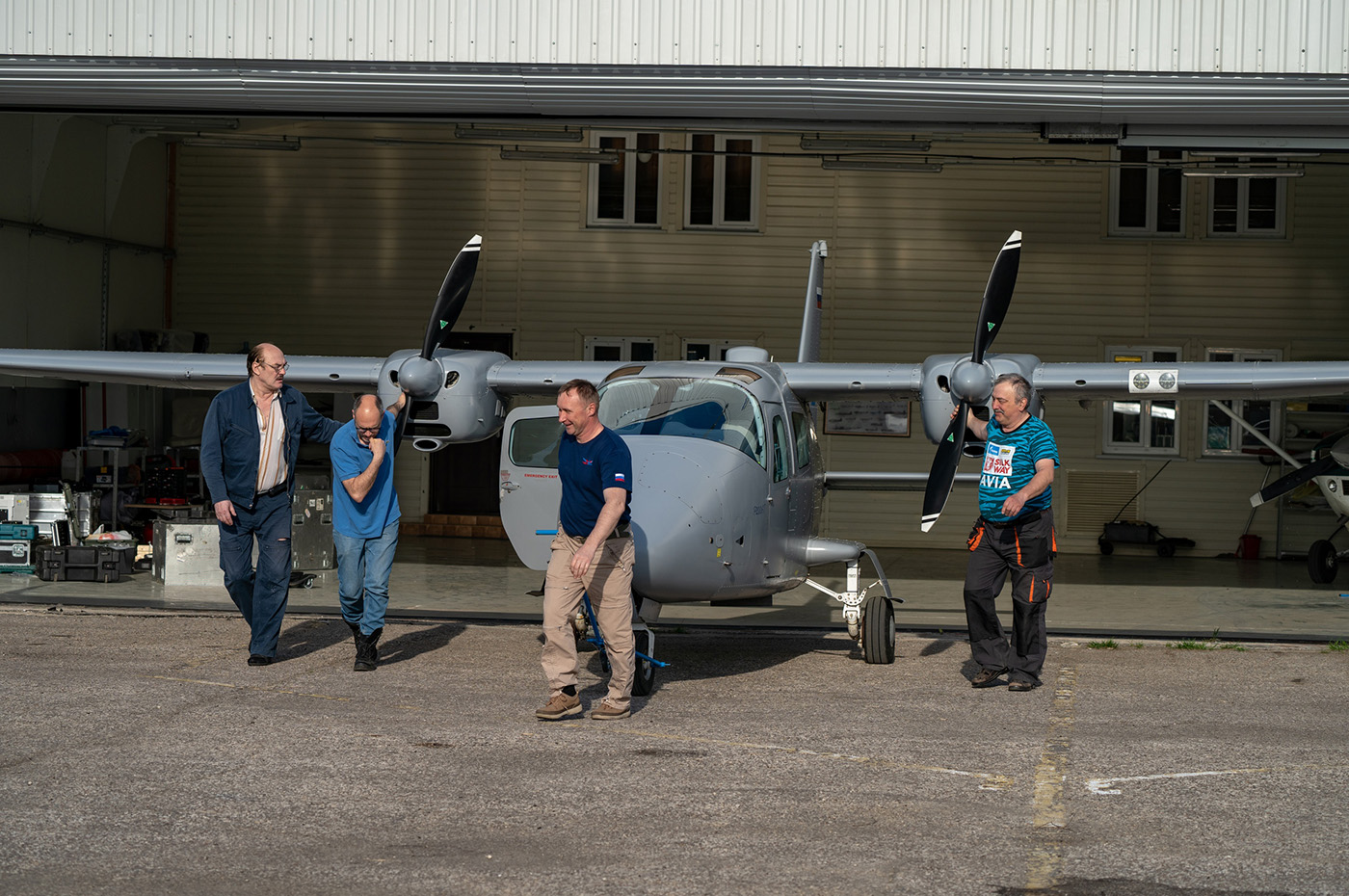
Tecnam-2006
2 aircrafts
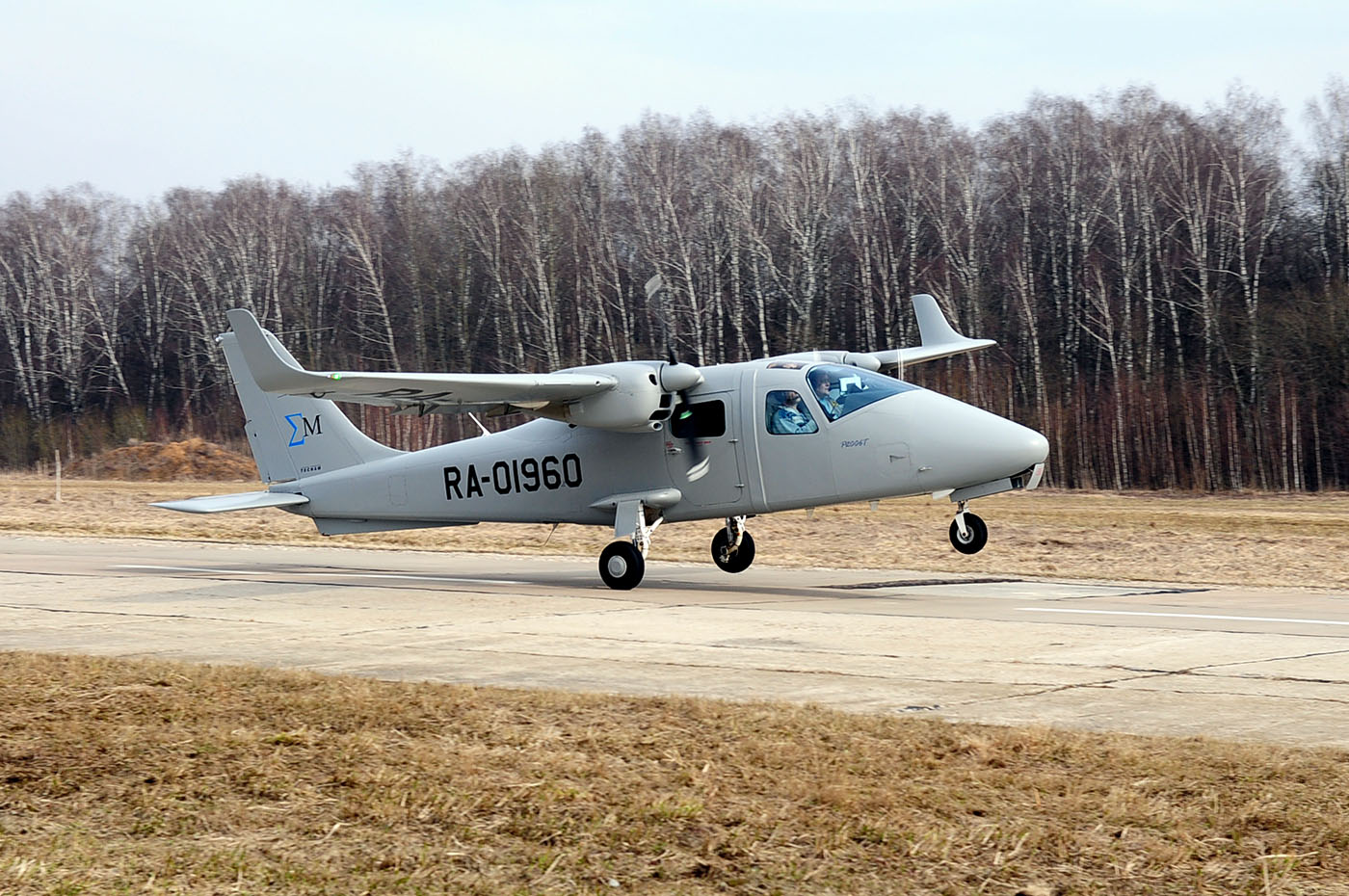
- Flying altitude —
up to 3,200 m - Flying speed —
up to 260 km/h , cruise speed —from 170 km/h - Flying range —
up to 1,100 km
The aircraft maximum efficiency —
- Survey to 1: 1000 scale —
from 200 to 400 sq. km - Survey to 1: 5000 scale —
from 500 to 1500 sq. km
The area depends on the complexity of the surveyed terrain
Digital airborne photogrammetric cameras
IGI UrbanMapper-2 Camera
- Image sensor size (CMOS) — 430 MP
- Nadir image size — 30,400 × 14,100 pixs
- Oblique image size — 11,664 × 8,750 pixs
- Physical pixel size — 3.76 μm
- Radiometric resolution — 16 bit/pix
- Focal length — 150 mm
- Maximum frame rate — 0.7 sec
- Optical exposure — up to 1/2500 sec
- Dynamic range — 83 dB
- Forward motion compensation — BSI
- Total field of view across track — 42°
- Total field of view along track — 20°
- Channels — RGBI, RGB, CIR, NIR (nadir), 4x RGB (oblique)
Z/I DMC IIe 250 Camera

- Image sensor size (CCD) — 235 MP
- Image size — 16,768 х 14,016 pixs
- Physical pixel size — 0,0056 мм
- Radiometric resolution — 14 bit/pix
- Focal length — 112 mm
- Maximum frame rate — 1.8 sec
- Channels — R, G, B, NIR
- Forward motion compensation — TDI
- Total field of view across track — 52°
- Total field of view along track — 51°
- Dynamic range — 72 dB
- Radiometric resolution — 14 bit
IGI 150 Mpx Camera

- Image sensor size (CMOS) — 150 MP
- Physical pixel size — 0,0037 мм
- Radiometric resolution — 14 bit/pix
- Focal length — 50 мм
- Maximum frame rate — 0.6 sec
- Dynamic range DigiCam — 83 dB
- Forward motion compensation — BSI
- Total field of view across track — 55,5°
- Total field of view along track — 43°
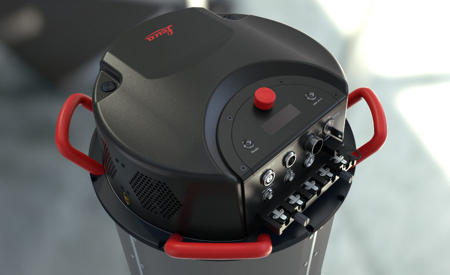
Leica CityMapper-2 System,
camera specifications
- Image sensor size (CMOS) — 150 MP
- Nadir image size — 14,192 × 10,640 pixs
- Размер перспективного изображения — 14,192 × 10,640 pixs
- Physical pixel size — 3.76 μm
- Radiometric resolution — 14 bit/pix
- Focal length, nadir sensor — 112 mm/146 mm
- Focal length, oblique sensor — 146 mm/189 mm
- Maximum frame rate — 0.8 sec
- Optical exposure — up to 1/1000 sec
- Dynamic range — 83 dB
- Forward motion compensation — TDI
- Channels — PAV 100
Leica RCD30 Camera

- Image sensor size (CCD) — 80 MP
- Physical pixel size — 0.0052 mm
- Radiometric resolution — 14 bit/pix
- Focal length — 83 mm
- Maximum frame rate — 1.25 sec
- Forward motion compensation — TDI — 60 pix
- Total field of view across track — 36°
- Total field of view along track — 27°
Airborne laser scanning systems
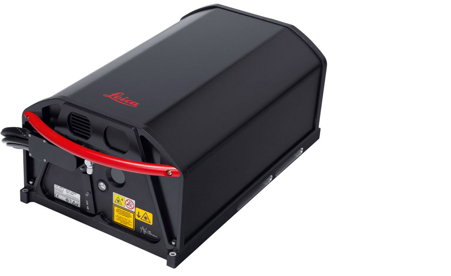
IGI LiteMapper VQ 7800II

- Wavelength — 1064 nm
- Pulse repetition frequency — 150–2,000 kHz
- Operation Altitude AGL — 100–5,000 m
- Position — 0.02 m
- Absolute elevation accuracy — 0.1 m @ 250 m
- Absolute horizontal accuracy — 0.18 m @ 250 m
- MTiA zones — up to 25 impulses in the air
- Seamless transition between MTiA zones
- Complete digitization of the waveform
- Beam divergence — 0.25 mrad
- Laser class — 3B
- Scan angle (FOV) — ±30°- 60°
- Distribution of points — parallel straight lines
- Mirror rotation rate — up to 300 lines/sec
Leica ALS80
- Wavelength — 1064 nm
- Pulse repetition frequency — 150–1,000 kHz
- Operation Altitude AGL — 100–5,000 m
- Elevation accuracy —
< 0.06 m @ 1000 m
< 0.10 m @ 2000 m
< 0.15 m @ 3000 m - Position — 1/1000 AGL
- Scan angle (FOV) — 0–60°
- Beam divergence — 0.25 mrad
- Return reflection for targets — unlimited
- Registration of intensities — 12 bit dynamic range for each measurement
- Distribution of reflections on the terrain surface — parallel straight lines
- Laser class — 3B
Leica CityMapper-2 System,
LiDAR specifications
- Wavelength — 1064 nm
- Pulse repetition frequency — 100–2,000 kHz
- Operation Altitude AGL — 300–5,500 m
- Position — 0.02 m
- Absolute elevation accuracy — 0,05 м @ 1000 м
- Absolute horizontal accuracy — 0,058 м @ 1000 м
- MTiA zones — up to 35 impulses in the air
- Seamless transition between MTiA zones
- Complete digitization of the waveform
- Beam divergence — 0.25 mrad
- Laser class — 3B
- Scan angle (FOV) — 20°–40°
- Distribution of points — elliptical with uniform point density
- Mirror rotation rate — up to 300 lines/sec