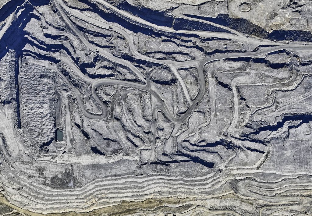
Aerial survey and mapping,
gold mining enterprise
The Bodaybinsky District of the Irkutsk region,
Aldansky and Olyokminsky Districts
of the Republic of Sakha (Yakutia)
2019-2020 гг.
Customer
Gold mining enterpriseWork package
- 1
- Aerial photography and aerial laser scanning,
- 2
- Office treatment of airborne survey data.
4105 sq. km
Surveyed area

Digital terrain model, height coded
Deliverable
- Classified points of laser reflections;
- Ortho-transformed images for photographic interpretation;
- Digital Elevation Model (DEM) extracted from the point cloud of the "ground" class with a density of at least 1 point per 1 sq. m;
- Regular digital elevation model at 1x1 m intervals;
- Orthophotomaps of 1: 2000 scale (image resolution on the ground - 0.20 m);
- Topographic plans of 1: 10,000 scale for the entire survey area with a contour interval of 5 m.

Digital terrain model, texturized with aerial images

Aerial image

Topographic map
Equipment
- IGI DigiCam 150 Camera
- IGI LiteMapper LiDAR System

