Engineering and geodetic surveys.
Design of the Ural high-speed railway line
The Sverdlovsk and Chelyabinsk regions
2017
Project mission
Acquiring information for the comprehensive assessment of the natural andman-induced conditions in the territory for the development of
project-related documentation
Surveyed area
250 sq. km
Customer
Ural high-speed highway economic partnershipDeliverable
- Digital elevation model,
- Ortophotomaps of 1:1000 scale
- Special digital topographic plans of 1: 1000 scale
with a contour interval of 0.5 m
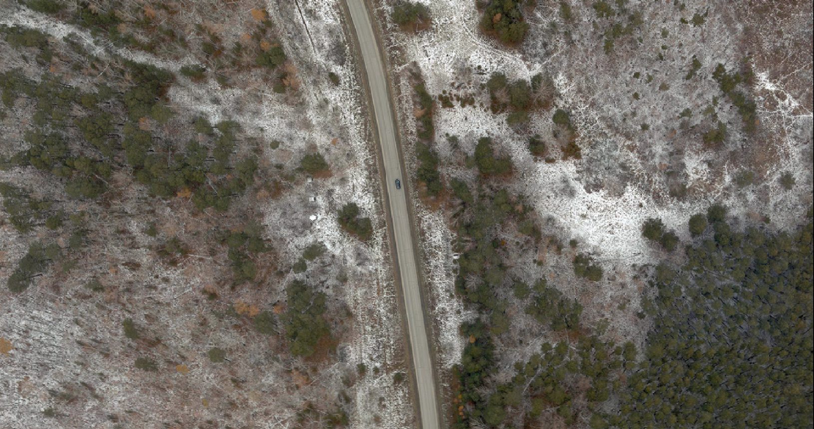
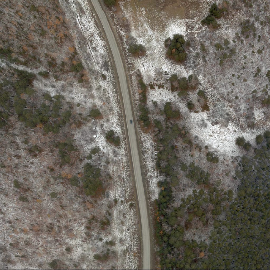
Fragments of the orthophotomap
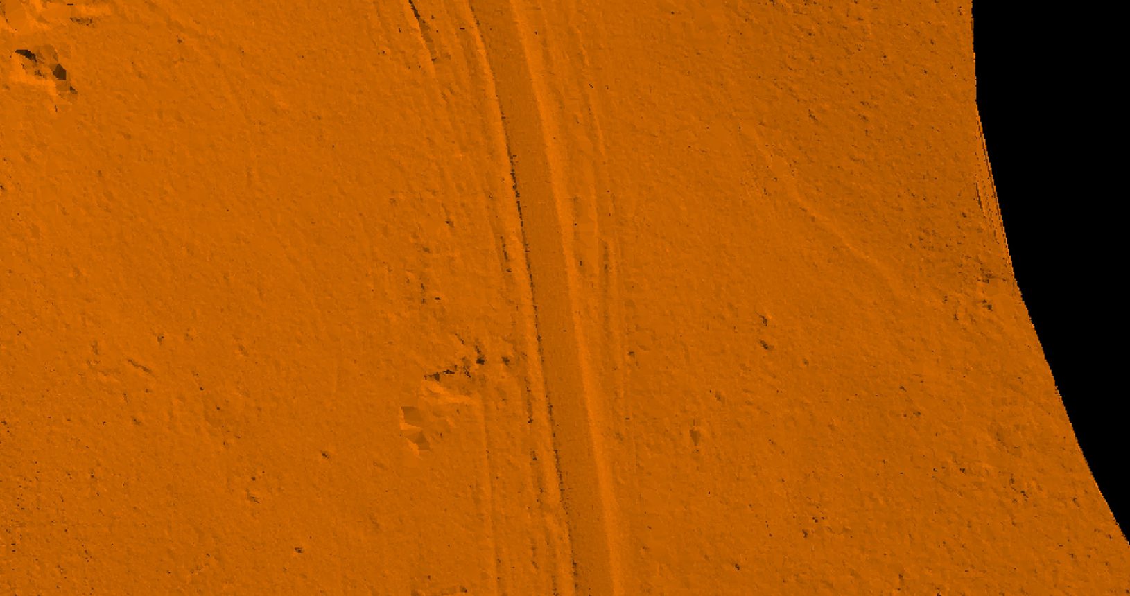
Digital terrain model
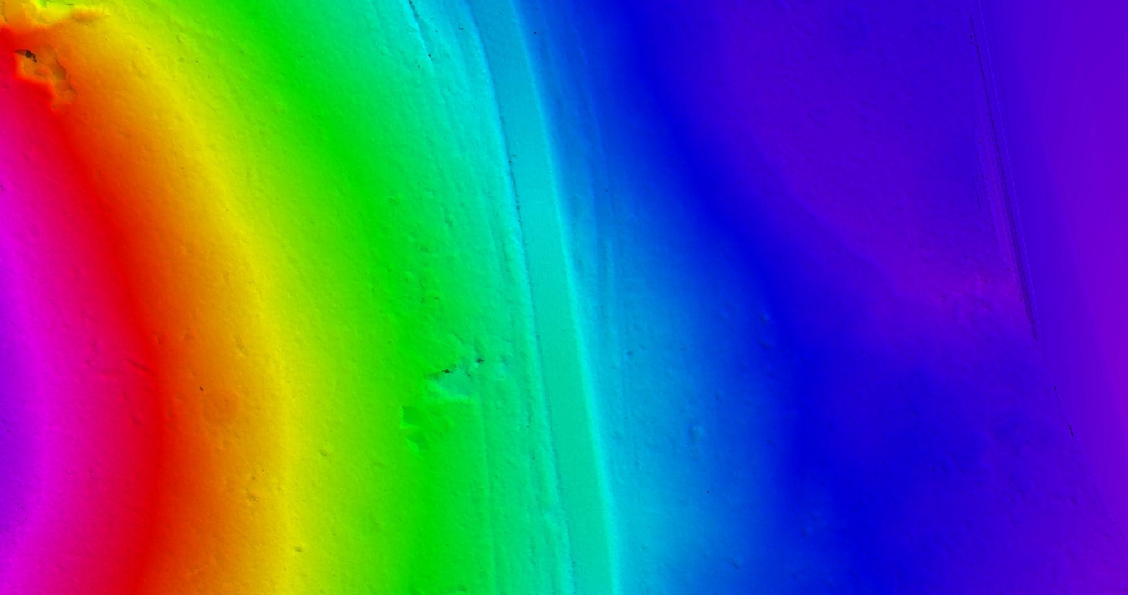
Digital terrain model, height coded
Under the project, the aerial photography and airborne laser scanning were carried out for:
The deliverables made it possible to comprehensively assess the natural and man-induced conditions in the territory for the development of project-related documentation.
Project features
In spring 2016, the project preparation of the Ural high-speed railway line between Yekaterinburg and Chelyabinsk was officially launched. The high-speed railway line was aimed to establish closer interaction between the two megacities, which would form new types of innovative-focused economic activities and strengthen social interaction.The diverse studies of the territory were carried out, and the technical, economic, financial, and legal documentation was developed at the pre-design stage. The engineering and geodetic surveys implemented by the Sigma Metrix Company became a part of the project preparation at this stage.