Airborne survey
of the pipeline routing
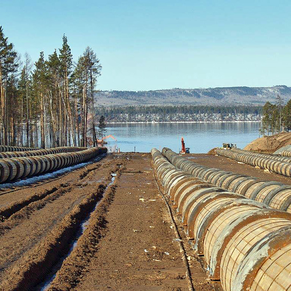
The Eastern Siberia - Pacific Ocean pipeline
The Zapolyarye – Purpe oil trunk pipeline
2017-19 гг.
Customer
Transneft - Far East LLCTransneft - Siberia JSC
Project mission
Determination of the planned-high-altitude position of the pipeline and infrastructure. Detection of the route sections with evidence of exogenous geological processes.The work was carried out under the Monitoring Program of the technical conditions of the oil trunk pipelines, infrastructure, technical equipment, buildings, and structures.
Work package
- Aerial photography and aerial laser scanning,
- Development of digital ortophotomaps,
- Generation of digital elevation models (DEM),
- Generation of vector axes along the power transmission line to detect the angle of tower deviation from the vertical.
Nadir image
Zoom in to see the level of detail
Deliverable
The digital terrain model with different layers was based on the LiDAR data::- Digital elevation model,
- Elevation contour,
- Shaded relief image,
- Vegetation relative heights map,
- Slope map,
- Slope exposure map,
- Surface flow accumulation map.
- Channel, gully, riverwash erosion,
- Underflood, inundation and bogging-up,
- Landslides, rockslides,
- Karst erosion,
- Frost heaving.

Orthophotomap

Digital model of vegetation

Hill shading

Slope exposure map
Information on the infrastructure facilities
The digital terrain models are based on the LiDAR data - laser reflections point cloud.They are used for:
- Development of high-precision topographic plans,
- Update and reissuance of technical documentation,
- Observation of deformations.

Classified points cloud (distribution substation)

Digital surface model on orthophoto backdrop