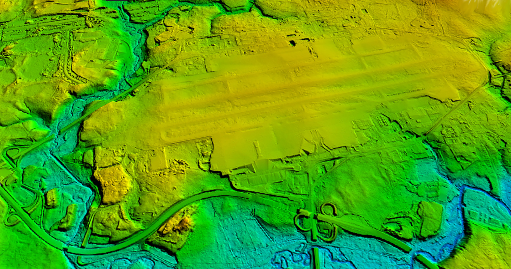
Aerial photography, aerial laser scanning, development of orthophotomaps, digital elevation and terrain models
Sheremetyevo,
Moscow region
2017
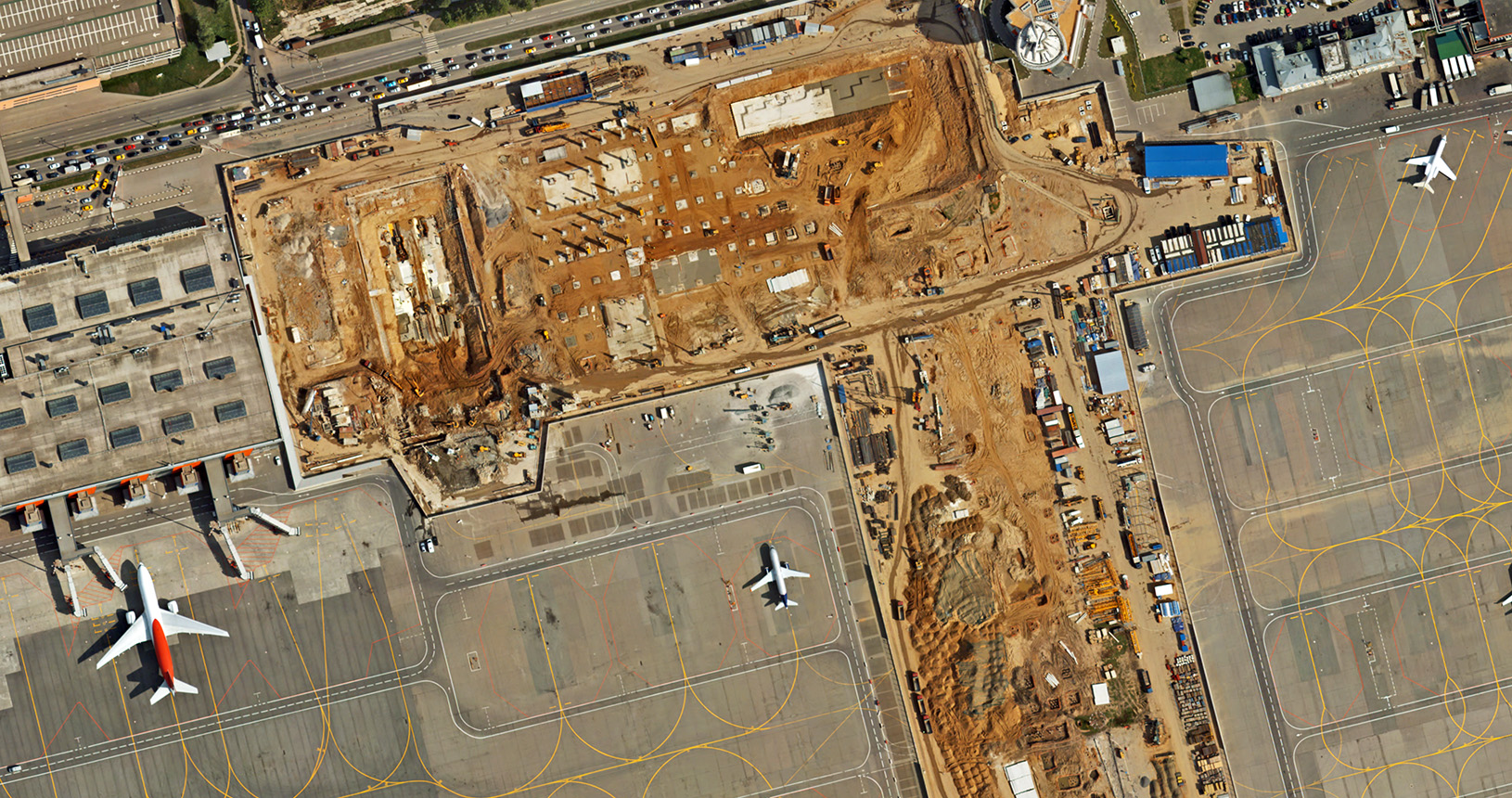
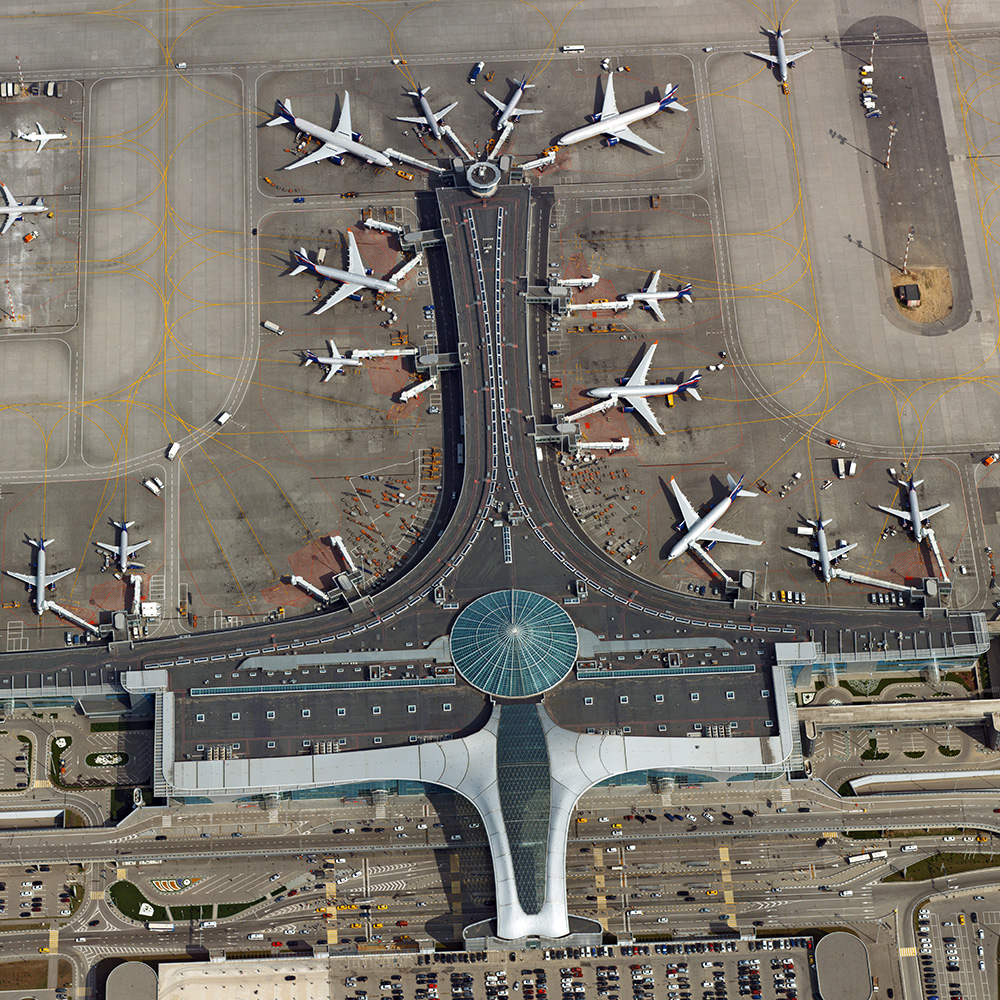
Project mission
Feasibility study for the design of new infrastructure facilities as part of the development master plan of the Sheremetyevo International AirportSurveyed area
5,500 ha
Customer
Sheremetyevo International AirportWork package
- 1
- Aerial laser scanning,
- 2
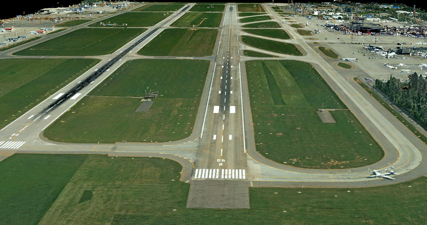
- Aerial photography - nadir and oblique images, images resolution of 15 cm/pixel,
- 3
- Office treatment of airborne survey data:
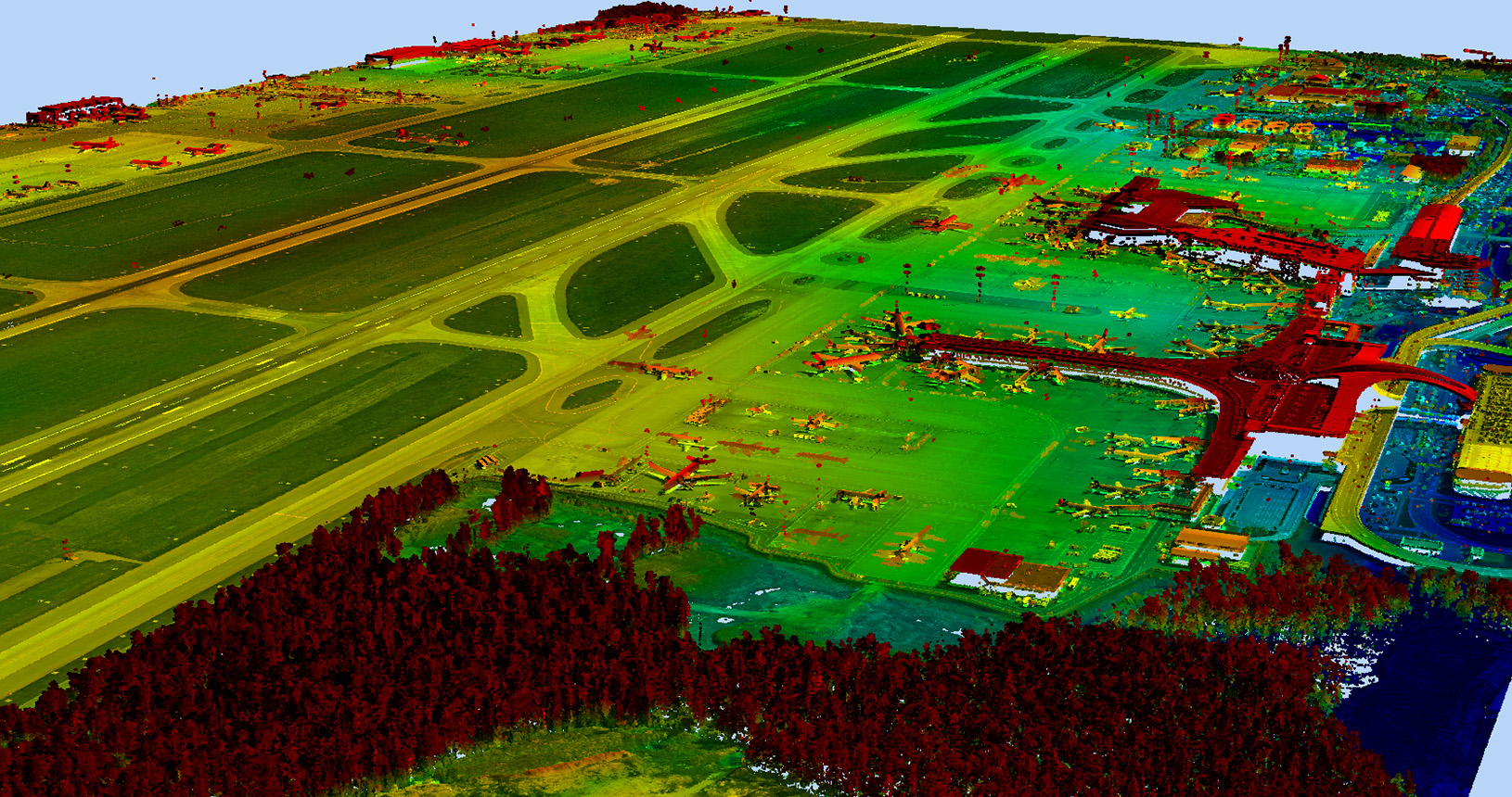
- Classification of laser reflection points,
- Development of orthophotomaps of 1: 2000 scale,
- Generation of the digital elevation model (DEM),
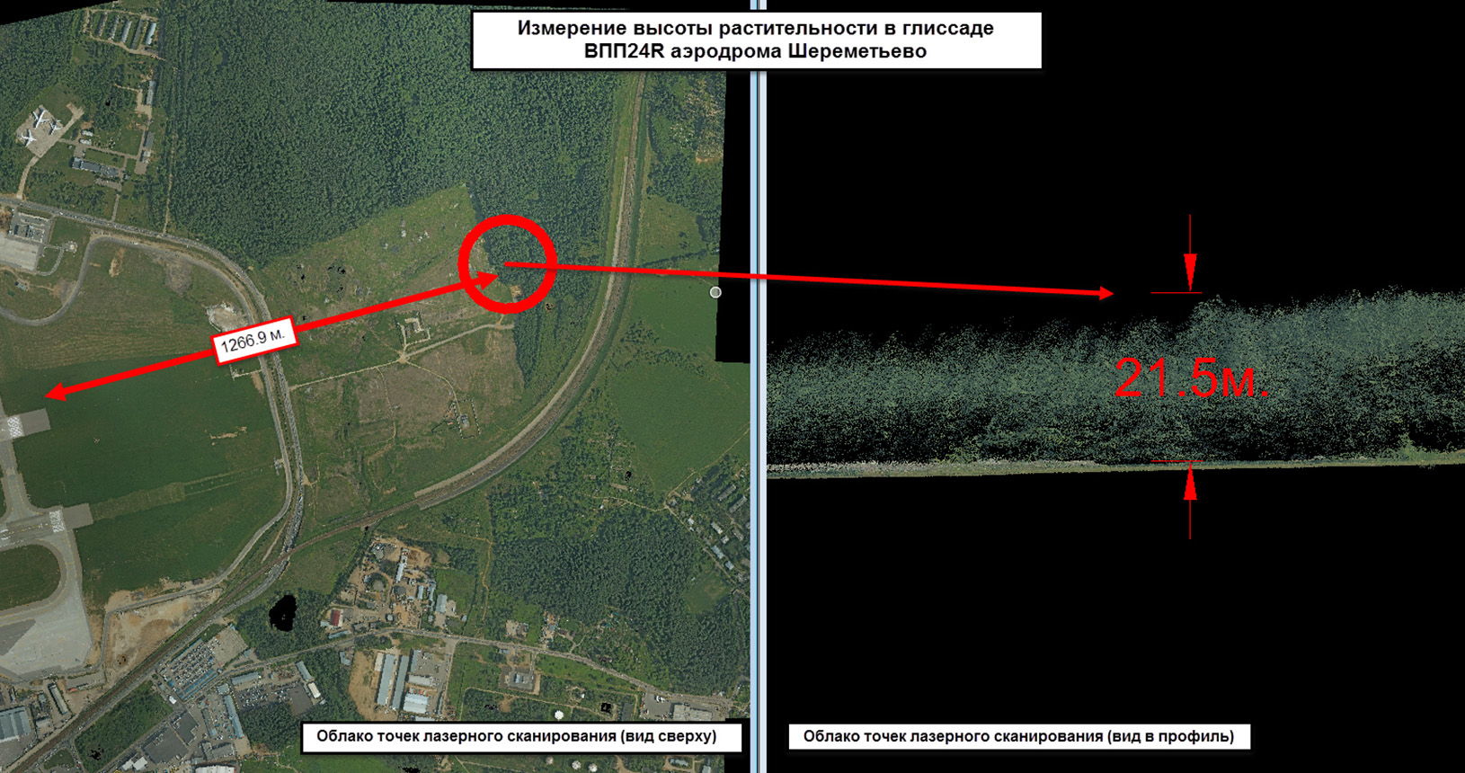
- Monitoring of obstacles in the aircraft approach area