Aerial laser scanning
Airborne laser scanning is the most rapid and efficient technology of accurate measuring the height of the earth's surface and objects.
The LiDAR systems are based on a powerful pulsed semiconductor scanner. The time of ray propagation from the emitter to the reflecting object and back to the receiver is registered for each emitted pulse.


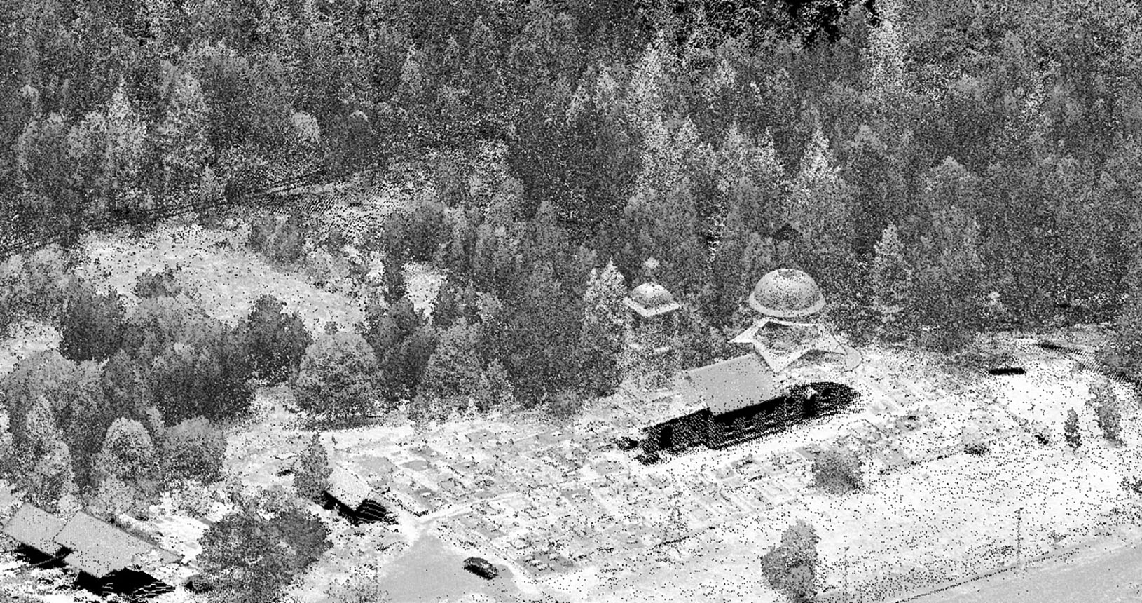
The laser scanning system can receive and record an unlimited number of reflections from each outgoing pulse and fix the coordinated data on vegetation of different heights, wires and power transmission towers, building roofs, and the earth’s surface. The multi-line scanning system obtains the consistent product quality with a point’s clouds density of up to 100 points per 1 square meter.
To calculate the coordinates of laser reflection points, the airborne laser scanning system includes GPS and inertial measurement unit (IMU) for determining the position and orientation of the scanner at the time of the pulse emission. This makes it possible to obtain a dense cloud of laser reflections points with the defined geodesic coordinates. Our equipment allows for achieving the accuracy of +/- 5 cm.
The obtained three-dimensional point clouds are classified into the following objects – «bare earth», wires, power transmission towers, vegetation, buildings, etc. and are used to create the digital elevation and terrain models (DEM and DTM).
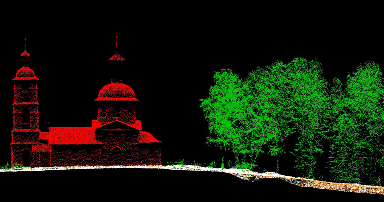
The design features of modern LiDARs provide an opportunity for scanning in the inclined plane by three formats. This makes it possible to obtain the points of vertical surfaces and offers new possibilities for 3D modeling of objects.
What is the point?
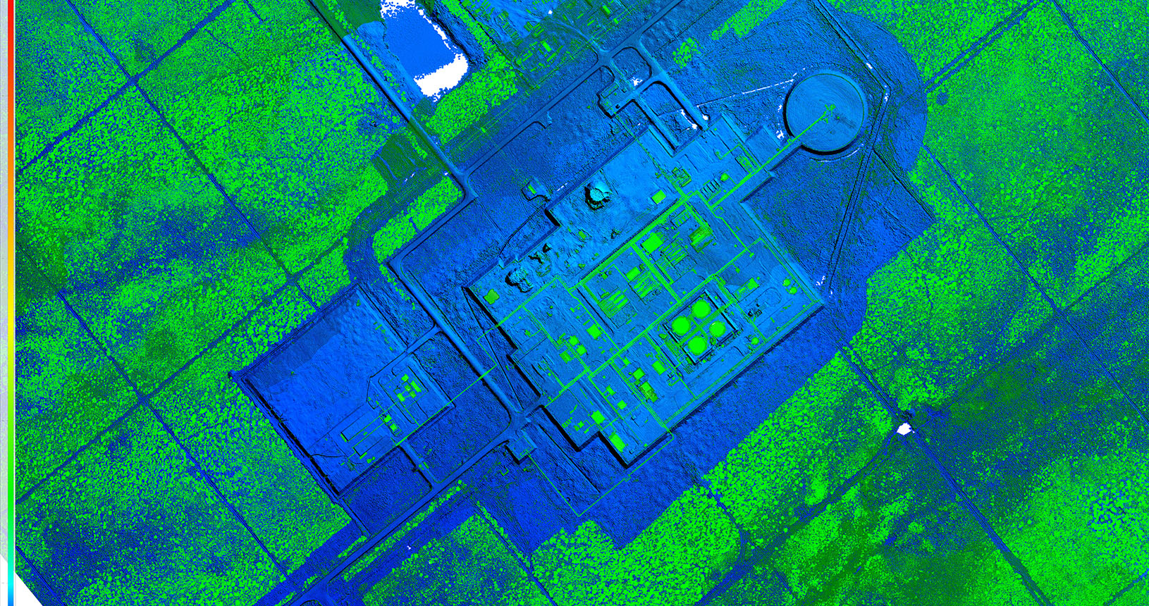
Maps of small to large scales. For topographic mapping and CAD/GIS projects - in areas as diverse as transportation, urban planning, environment, resource management.
Generation of digital elevation and terrain models.
Inspection and monitoring of power lines.
Estimation of flood water levels and determination of infrastructure at high risk.
Forest stand-level inventory and forest planning.
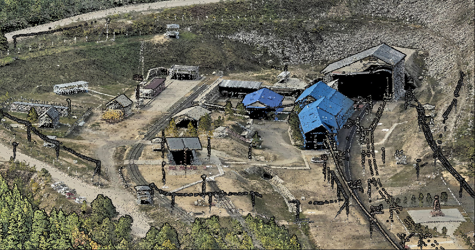
Survey and modeling of open pit mining.